


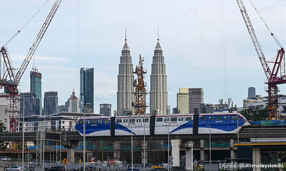
As I write this, the Draft Kuala Lumpur Local Plan 2040 (DKLLP) is at the end of its public consultation period.
Many concerned citizens had a tough time making sense of how its 1,500 pages of maps and narratives affect their daily lives and their rights as city ratepayers, in order to effectively register their views and objections.
This exercise, originally a month-long only, was further extended twice as “prihatin rakyat” (people-friendly) gestures. Even so, it remained a tall order for the relatively small number of “switched-on” community leaders to digest the plan and compile feedback. Many parts of KL remain “poorly represented”.
The minimum one-month public consultation period was first spelt out in our town planning laws almost half a century ago.
Since then, spatial planning (both structure and local plans) has gotten more complex, driven by exponential economic growth and escalating land use pressures.
Today it might be reasonable to fix three months as the minimum consultation period. The law could be amended for this.

Knowing from the outset that they have a three-month timeline to work with would allow civil society groups a fairer opportunity to organise and capacity-build across the communities.
As a self-professed people-oriented town planner, I am consulted by many community leaders seeking to understand what they should reasonably expect of “good town planning practice”.
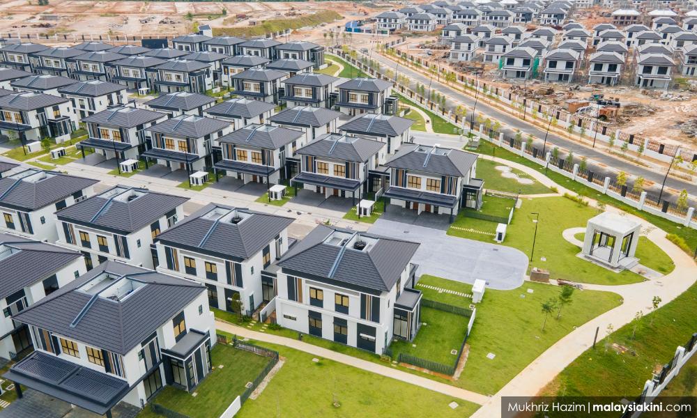
The DKLLP’s use of plot ratio for all residential zoning categories other than the least dense (i.e. R1 for landed houses) is quite a departure from conventional practice in Malaysia.
It is for now an untested idea, which would exacerbate the disconnect between the city's residential dwelling capacity and the census data/population growth projections.
I am particularly concerned about the two densest residential zonings with plot ratios ranging up to 6.0 (4.0 for R3, and 6.0 for R4). Before this R4 did not exist - and in fact, it still does not because for now the gazetted local plan in force is still the KL City Plan 2020 (KLCP2020).
In the KLCP2020, R3 is the densest zoning and limits are specified as Persons Per Acre (PPA) across all three residential zonings, and this continues to apply for now.
This is not to say the DKLLP cannot attempt to chart a new direction, but as with any approach its loopholes and pitfalls need to be recognised and safeguards incorporated.
When the DKLLP specifies plot ratios 3.0, 4.0 or 5.0 or 6.0 the public should logically expect to see a logical pattern/trend in the way these are assigned. This pattern must be relatable to some basis that is consistently (not arbitrarily, not “conveniently”) applied.
As a town planner, my instinct tells me that for an all-residential strata development with a plot ratio 5.0 or 6.0, the land size should be in the order of three to five acres at least.
So, a “sliding scale” is needed to moderate the plot ratios for smaller lots. If we unthinkingly apply 5.0 to smaller lots we would be straying far from the ideals of physical planning. Impact on surroundings varies greatly with the size of the plot.
Despite whatever best intentions, high residential plot ratios are likely to lead to a proliferation of compact “affordable” units as developers seek assured returns. Meanwhile, most existing infrastructure (not limited to roads) was sized on a headcount basis following PPA assumptions that will surely be far exceeded.
Overlaid on this are other factors that should be considered. Among these are the types/ intensities of neighbouring properties, their place on the “urban transect”, road network coverage/service levels, etc.
KL generally conforms to a Multiple Nuclei model and this is what the transects are based on.
The key desired outcome should be to avoid overcrowding and congestion. I have yet to see any examples where the intensity of new development is conscientiously reduced in an existing congested area - this mindless gravitation towards “development hotspots” must stop.
Use simulation for better planning
All these factors can be scored at least semi-quantitatively and weighted accordingly. Kuala Lumpur City Hall (DBKL) planners, in seeking to “break new ground” with this approach, should justify it with a transparent system that determines the outcomes objectively (rather than subjectively or selectively).
Various computer simulation tools are now available for testing the scenarios, and this would be taxpayer’s money well spent.
Ultimately, it is the rating system and criteria-set that should be described in the DKLLP, for the public to see that the assignment of plot ratios is reasonable and consistent in overall terms.
My expectation is that with an objective system in place, R4 developments with plot ratios of 5.0 and above would be few and far between. Only a select number of land banks possess the necessary supportive factors, likely in locations that require integrated mobility planning with participation (and financial contribution) by the developers.
In this era of growing public awareness, the credibility of the town planning profession is to a large extent dependent on how government planners are seen balancing public interest against the “development agenda” (i.e. property developers’ interests).
What I see so far in the DKLLP seems to be the opposite, and suggests that much of the development control parameters have been assigned according to developers’ requests.
A local plan should never be about mitigating piecemeal the impact of each development (taken as fait accompli), it should be about proactivity and consistency in holistically developing each of the city’s “nuclei” to its best potential.
Developers and their consultants must not be allowed to seize the initiative and dictate plot ratios.
On the subject of developers setting trends, another that comes to my mind is the proliferation in recent years of strata “residential” properties on plots zoned Commercial or Mixed Development.
A plot ratio of 10.0 on a one-acre plot is not uncommon, especially closer to the CBD, consisting mainly of “studio-sized” serviced apartments or “SOHO/SOFO/SOVO”, which has become familiar terminology.
Often the residential component of non-residentially zoned developments can exceed 50 percent. A clear policy statement is needed that would require DBKL’s planners to regulate this alongside the R4s.
Correcting the trajectory of mass housing for our city would certainly lead to far-reaching economic implications, and the finding of a new equilibrium is a broader topic that needs to be examined separately.
In the meantime, we all (including the powers that be) need to be clear that it is not DBKL's job to open easy pathways towards “realising development potential”.
It is DBKL's job to create and sustain a liveable city for its ratepayers. - Mkini
P GUNASILAN is a veteran town planner and fellow of the Malaysian Institute of Planners.
The views expressed here are those of the author/contributor and do not necessarily represent the views of MMKtT.
No comments:
Post a Comment
Note: Only a member of this blog may post a comment.