


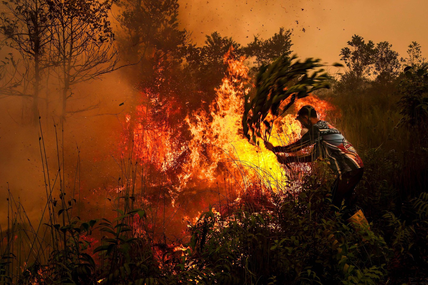
National Disaster Management Agency (BNPB) Disaster Data, Information and Communication Centre acting head Berton Panjaitan said South Papua recorded the largest area under firefighting operations, at 502 hectares, based on figures as of 7am local time today.
It was followed by Central Sulawesi with 295 hectares, Southeast Sulawesi (257 hectares), Maluku (182 hectares) and East Kalimantan (174 hectares).
"The pattern has changed considerably. Previously, fires were reported in parts of Sumatra and Kalimantan, and today, we are seeing fires in East Kalimantan, Central and Southeast Sulawesi, Maluku and South Papua," he said in a video briefing.
Berton said 58 aircraft remained deployed for firefighting operations, comprising 23 aircraft for patrol, surveillance and weather modification operations, and 35 helicopters for water-bombing missions.
He added that 23,900 kgs of cloud-seeding materials, including salt and dry ice, had been used in Kalimantan and South Sumatra.
Unhealthy air quality readings were also recorded in Sendawar, West Kutai district, and at three monitoring stations in Nusantara, Indonesia's new capital in East Kalimantan.
Separately, Berton said floods in North Sumatra had affected 7,615 households.
He said seven provinces – Aceh, Lampung, Bengkulu, Riau, West Sumatra, South Sumatra and North Sumatra – were under heightened alerts for heavy to very heavy rainfall.
The weather forecast also indicated the possibility of moderate to heavy rainfall across parts of Sumatra, Kalimantan, Sulawesi, Java, Bali, Maluku, North Maluku, West and East Nusa Tenggara, and Papua. - NST

No comments:
Post a Comment
Note: Only a member of this blog may post a comment.