


On Jan 22, Indonesian media reported that Malaysia had “ceded” 5,207ha of land to Indonesia near the Sabah-Kalimantan border, an area larger than Putrajaya.
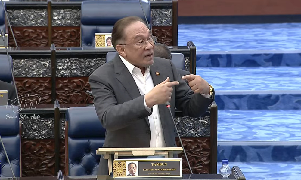
After more than a week of speculation, Prime Minister Anwar Ibrahim explained the issue in Parliament. Below are four things that readers should know about the matter.
1) Neither Malaysia nor Indonesia ‘cedes’ land to the other
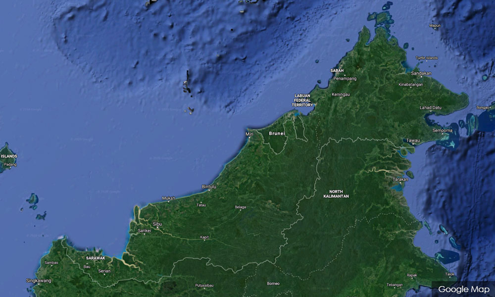
The prime minister explained that the border and area being disputed in the southwestern part of Sabah and Pulau Sebatik off the coast of Tawau do not actually belong to any nation.
So it is inaccurate to describe the outcome of negotiations as one country “ceding land” to another, as has been alleged, Anwar told Parliament in a ministerial briefing on Feb 4.
The boundary areas are classified as Outstanding Border Problems (OBP) and are named the Sungai Sinapad-Sungai Sesai OBP and Pulau Sebatik OBP.
This is even as Indonesia has been administering OBP Sungai Sinapad-Sungai Sesai, which totals 5,987ha, in an area over the southwestern border of Sabah.
Who finally owns which section of the land has been the subject of negotiations between the two neighbours for the past 47 years, and the final boundaries were only agreed to by officials last year.
“The determination of boundaries is not based on principles of compensation, reciprocity, or profit and loss, as alleged.
“Instead, the determination of the boundary between Malaysia and Indonesia is based on conventions and agreements,” Anwar said.
2) Present boundary based on two rivers in colonial-era treaties
A 1891 convention and 1915 agreement between the British colonial authority that had governed Sabah and the Dutch, who ruled Kalimantan and Indonesia, had set the boundaries in the Sungai Sinapad-Sungai Sesai area.
Anwar explained that the principle used was based on the location of the estuary of the two rivers, where territory north of it was British, while anything south was under Dutch control.
But work on the boundary between the two nations in 1977 found that the estuary was actually further north compared to the 1915 map and should be in Malaysian territory instead of Indonesia.
This disputed area would then be known as the Sinapad-Sungai Sesai OBP, and negotiations began on setting the correct borders for this part of Sabah and North Kalimantan.
3) Talks result in Malaysia gaining 785ha
Negotiations took 47 years and finally ended in February last year with an agreement over the final owners of the disputed areas. It was decided that:
Malaysia will get 5ha in Pulau Sebatik OBP and 780ha in Sungai Sinapad-Sungai Sesai OBP.
Portions of three villages - Kabulangor, Lepaga, and Tetagas - that had been administered by Indonesia will now be part of Malaysian territory.
Indonesia, meanwhile, gets 127ha in the Pulau Sebatik OBP and 5,207ha in the Sungai Sinapad-Sungai Sesai OBP.
4) Sarawak boundary is next
Negotiations are still ongoing over parts of a disputed border area between Sarawak and West Kalimantan, estimated to total 1,644.6km in length, Anwar said. - Mkini
No comments:
Post a Comment
Note: Only a member of this blog may post a comment.